What is LiDAR?
Airborne Laser Scanning is a remote sensing technique that allows the collection of topographic information (ground height data) over large areas of landscape using a sensor mounted on a plane or helicopter.
The basic principle of laser scanning as a survey tool, relies on the ability to calculate the time taken by a beam of light to travel from the sensor to the reflecting surface and back.
The sensor scans in a direction perpendicular to the direction of flight, creating a swath of point measurements.

Two types of data are collected by the sensors in this process, the height of points and the intensity of the signal reflected back. The intensity of the reflected signal depends on the type of material it reflected off. This can help us document the type of material and this indication of material coupled with the height data can help us to locate and remove the vegetation from the terrain model revealing the ground surface beneath. The process of removing vegetation gives a distinct advantage over photographic survey where visibility of ground surface is restricted by forested areas.
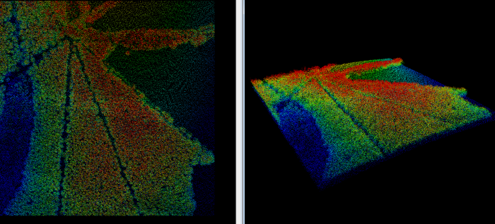
The cloud of data points collected can then be used to create high-accuracy surface models of the landscape. These data, usually collected for environmental or hydrological purposes, have also proven to be exceptionally useful for identifying archaeological features.
Unlike aerial photography or digital spectral imaging, ALS is an active remote sensing technique, (meaning that measurements are taken using light emitted from the sensor unit rather than the reflection of natural light) which enables night-time data collection.
How We Use LiDAR Data
In order to show people how we work with LiDAR data, we have produced 3 short video clips that show some of the tools and processes that the team uses.
