Key milestone reached for National Park as village votes in referendum
February 9, 2022

The final piece in the housing strategy for the National Park has been completed after a community voted overwhelmingly for its neighbourhood plan.
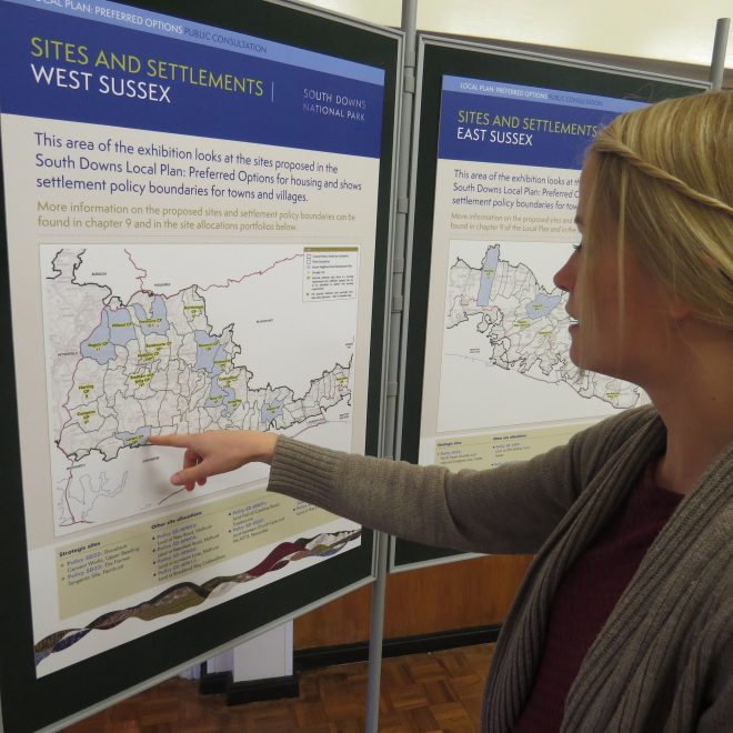
The referendum at Twyford, in Hampshire, marked the final step in the process of completing the housing allocations set out in the South Downs Local Plan.
The award-winning Local Plan was formally adopted in 2019, but several Neighbourhood Development Plans (NDPs) still needed to be completed and voted on by the community. NDPs give local communities the power to shape development in their area through the Localism Act 2011 and address how growth can be managed over a 15 to 20 year period.
The referendum on the Twyford Neighbourhood Development Plan saw 349 Yes votes and 70 No votes (83% to 17%).
Once Twyford is formally adopted, it will mean 40 NDPs are now incorporated into the Local Plan for the National Park. Some communities are still developing their NDP, but they do not include housing allocations.
The process started in 2014 when Arundel was the first community to green light its NDP (a full list of those adopted is below). Over the past eight years, there have been thousands of hours of consultation, engagement and meetings with local communities to work up the NDPs.
Lucy Howard, Planning Policy Manager for the National Park, said: “This is a key milestone for the local communities of the National Park and I would like to take this opportunity to thank each and every person who has contributed and given their time to this really important process in planning.
“Local communities sit at the heart of our landscape-led Local Plan and this is a great achievement for them and everyone who has worked so hard on these Neighbourhood Development Plans.
“These adopted plans are a powerful way of local people helping to shape where and what development happens in their communities.”
The Local Plan is landscape-led and includes a housing provision across the towns and villages of the National Park, rather than just allowing growth around the largest settlements such as Lewes and Petersfield.

The Plan covers the entire 1,627 km² National Park until 2033 and rather than being “target driven”, the policies in the Plan seek to conserve and enhance the nationally-designated landscape. The Plan sets out measures to mitigate climate change including that any major new developments should seek to be carbon neutral, have better drainage schemes to reduce flood risk and limit water consumption for new developments.
· The Local Plan replaced more than 1,000 overlapping policies that were in existence across the area of the National Park with 92 clear policies covering all aspects of planning.
· It followed extensive public consultation with local communities and detailed scrutiny and examination by the Government’s Planning Inspectorate, which found the policies to be sound subject to a number of modifications.
· In 2019 the National Park Authority won a prestigious award from the Royal Town Planning Institute for the environmental excellence of the South Downs Local Plan.
· To see the Local Plan visit: www.southdowns.gov.uk/planning-policy/south-downs-local-plan/
Full list of Adopted Neighbourhood Development Plans in the South Downs National Park:
Albourne
Aldingbourne
Amberley
Angmering
Arundel
Boxgrove
Bramber
Bury
Clapham
Ditchling, Westmeston and Streat
East Meon
Fernhurst
Ferring
Findon (updated)
Fittleworth
Hamsey
Hassocks
Henfield
Hurstpierpoint and Sayers Common
Kirdford
Lavant
Lewes
Liss
Milland
Newhaven
Patching
Petersfield
Petworth
Plumpton
Ringmer
Rogate and Rake
Seaford
Stedham with Iping
Storrington, Sullington and Washington
Upper Beeding
Walberton
Westbourne
Wisborough Green
Woodmancote
And Twyford – voted at referendum and to be adopted.
